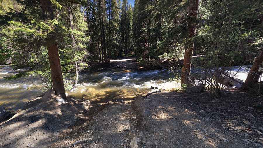
Mount Elbert
Mount Elbert is a high mountain peak at an elevation of 3.504m (11,496ft) above the sea level, located in Lake County, in the U.S. state of Colorado.

The summit is located in the Sawatch Range of the Rocky Mountains of North America. The road to the summit is very rough, tippy and bumpy at times. Located on the Elbert Massif in San Isabel National Forest, the road is totally impassable in winters, often until July 4th or later. Great trail for experienced wheelers. The trail is narrow with few places for passing so meeting someone can be a challenge. High altitude sickness may occur at this altitude. The mountain was named in honor of a Colorado statesman, Samuel Hitt Elbert, who was active in the formative period of the state and Governor of the Territory of Colorado from 1873 to 1874. The trail to the summit is called Forest Road 110J (Iron Mike Road or Halfmoon Road). It’s an old mining road. Keep an eye on the weather for thunderstorms and lightning. Near the summit there are remants of several abandoned old mining buildings. The road can be driven in many stock SUVs equipped with 4x4 & higher clearance. However, the road is continuously rocky and does present some degree of clearance challenges for stock SUVs. Avoid dangerous afternoon storms. If you see dark puffy clouds building, turn around and get off the mountain.
Pic: Scott Bram