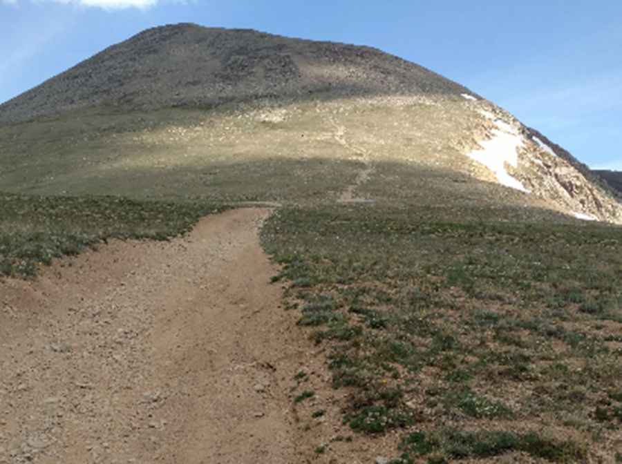
Ultimate 4wd destination: Fairview Peak in Colorado
Fairview Peak is a high mountain peak at an elevation of 3,781m (12,404ft) above sea level, located in Gunnison County, in the U.S. state of Colorado. It’s one of the highest roads in Colorado.

Where is Fairview Peak?
The peak is located north of Pitkin, in the central part of Colorado, within the Gunnison National Forest.
What’s at the summit of Fairview Peak?
The summit hosts an abandoned lookout built in 1912. It’s said to be the highest fire lookout in North America. It was staffed only a few years. The building is open, and you can go in. There is also a summit register nearby. Frequent lightning strikes occur. If there is a thunderstorm in the area, please do not visit the lookout. Spectacular views surround the lookout.
Is the road to Fairview Peak unpaved?
The road to the summit is totally unpaved. It’s called Terrible Mountain Road. It’s a rough, narrow road with drop-offs. It’s an old mine road up to the ruins of the old Fairview Mine. Vehicular traffic is not recommended. Proceed at your own risk. 4WD high-clearance vehicles are required.
How long is the road to Fairview Peak?
Starting from Pitkin, the road to the summit is 11.4 km (7 miles) long. Over this distance, the elevation gain is 978 m and the average gradient is 8.57%.
Is the road to Fairview Peak open in winter?
Set high in the western part of the Sawatch Range of the Rocky Mountains, the road is totally impassable in winter. The road is shady and surrounded by trees, so expect the snow to last.
Pic: DeWitt Gibson