A memorable road trip to Blackhall Mountain in Wyoming
Blackhall Mountain is a high mountain peak at an elevation of 3,345m (10,974ft) above sea level, located in Carbon County, in the U.S. state of Wyoming. It’s one of the highest roads in Wyoming.

Where is Blackhall Mountain?
The peak is located in southern Carbon County, in southeast Wyoming, near the Colorado border, within the Medicine Bow National Forest.
Why is it called Blackhall Mountain?
The mountain was named after the first Forest Supervisor in the area, James Blackhall.
What’s at the summit of Blackhall Mountain?
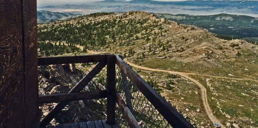
The summit hosts a lookout tower. The Blackhall Mountain Lookout was constructed in 1963 to replace a smaller 1916 wooden cab. The summit offers visitors an unparalleled view for miles in all directions.
Is the road to Blackhall Mountain unpaved?
The road to the summit is a low-maintenance gravel road. It’s called Blackhall Mountain Road (FDR 409). The last 3 miles leading to Blackhall Mountain Lookout require a high clearance vehicle with 4WD as it has a lot of jagged rocks.
How long is the road to Blackhall Mountain?
The road is about 30km (18 miles) long, starting from Encampment. It was originally constructed to provide access to the summit in the early 1960s but has gotten pretty bad in recent times. There are tons of connecting trails out here, so just be careful not to get lost.
Is the road to Blackhall Mountain open in winter?
Set high in the southeastern section of the Sierra Madre Mountain Range, the road is usually open only in the summer months.
Pic: J. Belote