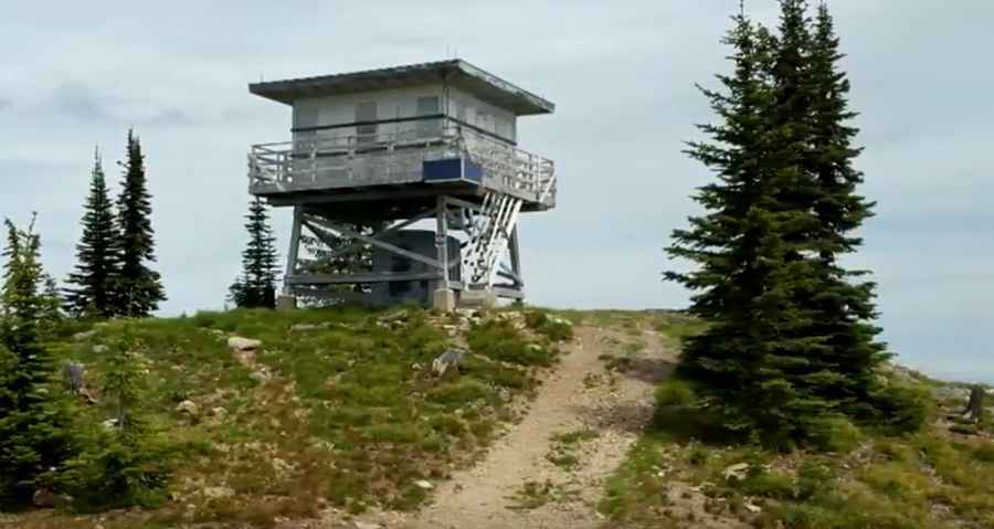
A Tricky Scenic Road to Salmo Mountain in Washington
Salmo Mountain is a high mountain peak with an elevation of 2,083m (6,833ft) above sea level, located in Pend Oreille County in the U.S. state of Washington. It’s one of the highest roads in Washington.

Where is Salmo Mountain?
The peak is situated in the northeastern corner of Washington, just a few miles from both the Idaho and Canadian borders, within the Colville National Forest.
What’s on the summit of Salmo Mountain in Washington?
Tucked away in the Salmo-Priest Wilderness, the summit features a wooden lookout tower built in 1964. It’s said to be the northeasternmost lookout in the state. From the top, you can enjoy excellent views extending to Canada, Washington, Idaho, and the Rockies in Montana.
Is the road to Salmo Mountain in Washington unpaved?
The road to the summit, known as NF-270, is completely unpaved. It is well-maintained and consists of gravel all the way to the top. The last hundred yards can get a bit rocky, but most 4x4 vehicles should have no problem making it up. However, be prepared for some rough sections in the final stretch, which may require a bit of road walking.
How long is the road to Salmo Mountain in Washington?
Starting from NF-2220 road, the ascent is 3.37 km (2.1 miles) long. Over this distance, the elevation gain is 277 meters, with an average gradient of 8.21%.
Is the road to Salmo Mountain in Washington open in winter?
Set high in the Selkirk Mountains, the road is typically impassable from October to June (weather permitting).
Pic: Ted Hawk