Road Trip Guide: Conquering Iron Mountain in Montana
Iron Mountain is a high mountain peak at an elevation of 3.082m (10,111ft) above sea level, located in Sweet Grass County, in the U.S. state of Montana. It’s one of the highest roads in Montana.
Where is Iron Mountain?
The peak is located near Picket Pin Mountain, south of Big Timber (the county seat of Sweet Grass County), in the southern part of Montana, within the Custer Gallatin National Forest. This area is threaded with ATV and old mining roads.
Is the road to Iron Mountain unpaved?
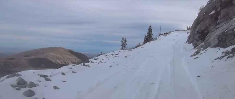
The road to the summit is entirely unpaved. It’s called U.S. Forest Service Road 140 (Picket Pin-Iron Mountain Road). The road is usually impassable from October to June (weather permitting). A 4x4 vehicle is required.
How long is the road to Iron Mountain?
The drive is steep. Starting from County Road 420 (Stillwater Road) on Nye (in Stillwater County, Montana), the road to the summit is 35.72km (22.2 miles) long. Over this distance, the elevation gain is 1.594 meters. The average gradient is 4.46%.
Pic&video: Sue Clifton