Road trip guide: Niwot Ridge in Colorado
Located in the heart of the Indian Peaks, in Boulder County, in the U.S. state of Colorado, Niwot Ridge sits at an elevation of 3,741m (12,273ft) above sea level. It’s one of the highest roads in Colorado.
Where is Niwot Ridge?
The ridge is located to the west of Left Hand Reservoir (at an elevation of 3,256m-10,682ft above sea level), northwest of Denver, in the north-central part of Colorado. Along the way, there are several weather and research stations. The view from the top of Niwot Ridge has to be one of the best views of the Indian Peaks that you can get, with great views across the open tundra and the valley below.
How long is the road to Niwot Ridge?
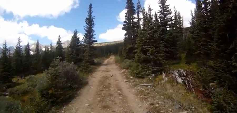
The service road to the ridge is totally unpaved. Starting from Ward, the road is about 9.1 km (5.65 miles) long. The road-trail rises steadily up the south side of the ridge. A 4x4 vehicle is required.
Is the road to Niwot Ridge open?
Set high in the Front Range of the southern Rocky Mountains, with such a high summit altitude, the road can be impassable at any time due to snowfalls. It is usually impassable from late October through late June or early July. Expect cooler temperatures, strong sun, and wind in this completely exposed environment. This road is actually closed for recreational use, as it traverses past research equipment monitoring air quality, and the U.S. Forest Service has restricted access to it for the past 20 years.
Pic&video: Alexander Dean