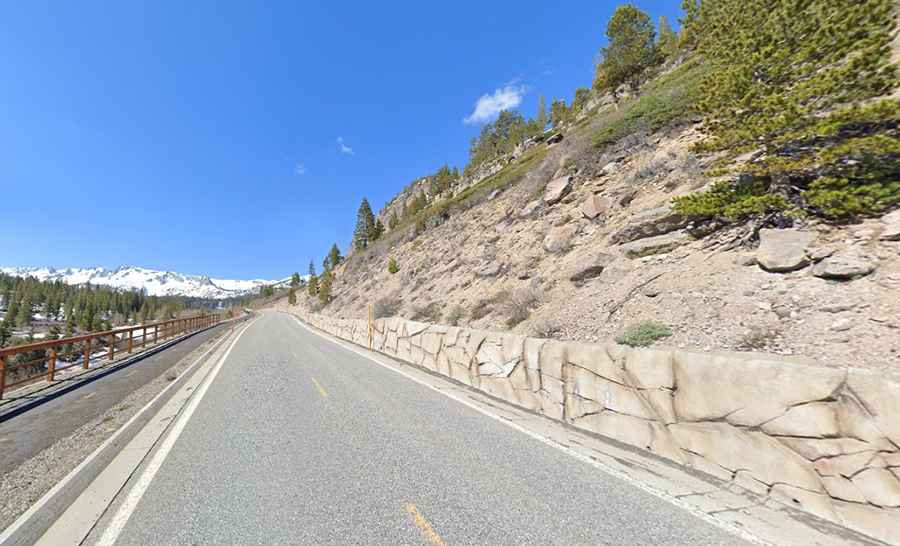
A paved road to the poisonous Horseshoe Lake in California
Horseshoe Lake is a high mountain lake at an elevation of 2,742 meters (8,996 feet) above sea level, located in Mono County, in the US state of California. It is known for its hazardous conditions due to high levels of carbon dioxide (CO₂) seeping from the ground. Warnings about CO₂ exposure are posted in the area.

Where is Horseshoe Lake?
Horseshoe Lake is situated in the Mono Basin, near the eastern Sierra Nevada, within the boundaries of the Inyo National Forest in eastern California. The lake is a popular recreation area and serves as a staging point for the Mammoth Pass and McLeod Lake trails.
How long is the road to Horseshoe Lake?
The road to the lake is fully paved, though some sections are steep. Called Lake Mary Road, it extends 8.85 kilometers (5.5 miles) from the town of Mammoth Lakes. Over this distance, the elevation gain is 338 meters, with an average gradient of 3.81%. The road is usually impassable in winter.
When is the best time to drive to Horseshoe Lake?
There is a parking lot at the end of the road. To avoid crowds, it is best to visit early or late in the day.
Is Horseshoe Lake dangerous?
The lake has highly concentrated carbon dioxide and hydrogen sulfide, posing a serious threat to humans. If you feel faint, leave the area immediately. The high CO₂ levels have created a significant "tree kill zone" around the lake, and the toxic gas also affects the soil and vegetation, making the environment inhospitable for many plants and animals. Visitors are strongly advised to avoid the areas around Horseshoe Lake due to the risk of CO₂ exposure. Signs are posted to warn people about the dangers, and the area is monitored for safety. Camping in the area is not advisable. In dry years, as its feeder streams dry up, the lake diminishes dramatically over the summer, leaving expanses of sandy beach.