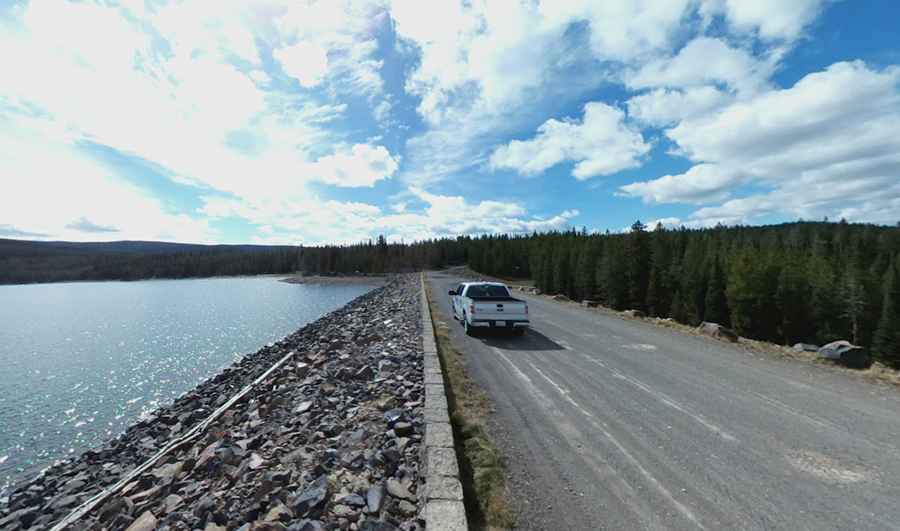
Ashton Flagg Ranch Road runs from Yellowstone to Grand Teton
Ashton Flagg Ranch Road is a scenic drive spanning Wyoming and Idaho states in the USA. It’s a beautiful journey between the northern end of the Teton Range and Yellowstone's Pitchstone Plateau.

How long is Ashton Flagg Ranch Road?
The road is 79 km (49.1 miles) long, running west-east from Ashton (a city in Fremont County, Idaho) on US-20, to US191 (John D Rockefeller Jr Parkway).
Is Ashton Flagg Ranch Road paved?
The road is mostly unpaved (about 15 miles are paved). Most of this route follows an easy, wide gravel road, but sections on the east side are narrow and can become rough, muddy, and rutted.
Do I need a 4x4 to drive the Ashton Flagg Ranch Road?
The road is not suitable for normal cars. Only high-clearance vehicles should attempt this drive, and 4x4 is recommended.
Is Ashton Flagg Ranch open?
This is a mountain road. It tops out at 2,263 m (7,424 ft) above sea level. It’s usually impassable from late October through late June or early July. Snow lingers until late June, so ask before you go. Because the road travels the northern tip of the Teton Range and reaches elevations of about 7,500 feet, the terrain is rocky, as you might expect when crossing a mountain range.
Is Ashton Flagg Ranch worth it?
The road links Fremont County (in the U.S. state of Idaho) and Teton County (in the U.S. state of Wyoming). Plan about 3.5 hours to complete the drive without any stops. This dirt road is made for adventure. The drive is very scenic and provides access to several lakes such as Indian Lake, Lake of the Woods, Moose Lake, Loon Lake, and Grassy Reservoir. Primitive camping is possible. The trip comprises Ashton/Flagg Ranch Road, Grass Lake Road, Flagg Ranch Road, or Reclamation Road. It’s a great place to get away from the crowds of Yellowstone and see wildlife. The drive is remote enough and rough enough to make a visitor feel like they might be traveling dangerously.
Pic: Joshua Taylor