A Memorable Road Trip to Hawkins Peak in California
Hawkins Peak is a volcanic peak at an elevation of 2,953 meters (9,688 feet) above sea level, located in Alpine County, in the U.S. state of California. It’s one of the highest roads in California.

Where is Hawkins Peak?
The peak is located north of Markleeville, in the eastern part of California, within the Humboldt–Toiyabe National Forest. The summit hosts a forest service radio communications facility that has been in place since the 1960s.
Why is it Called Hawkins Peak?
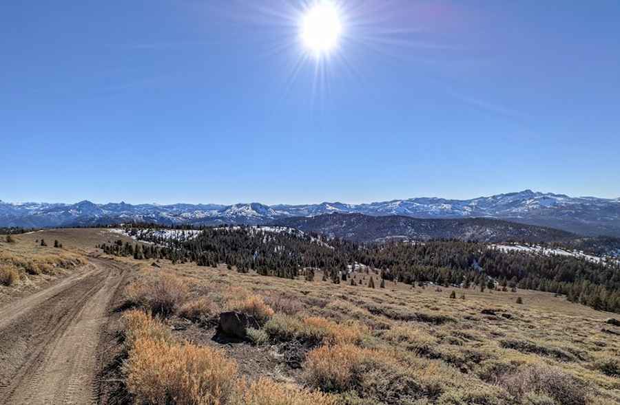
The mountain is named after John Hawkins, the first white settler in Hot Springs Valley and a squatter on a cattle ranch east of the peak in the 1850s. The views at the summit are amazing, where you can see the snowy Sierra Nevada transition into the high desert of Nevada.
Is the Road to Hawkins Peak Unpaved?
The road to the summit is totally unpaved with a few rocky sections. You will need a 4x4 vehicle and some clearance to drive the last part.
How Long is the Road to Hawkins Peak?
Starting from Burnside Lake Road, the road is 4.34 km (2.7 miles) long. Over this distance, the elevation gain is 449 meters, and the average gradient is 10.34%, with a 17.8% maximum gradient through some of the ramps.
Is the Road to Hawkins Peak Open in Winter?
Set high in the Sierra Nevada range, the road to the summit is totally impassable in winter.
Pic: Brendan Kiely