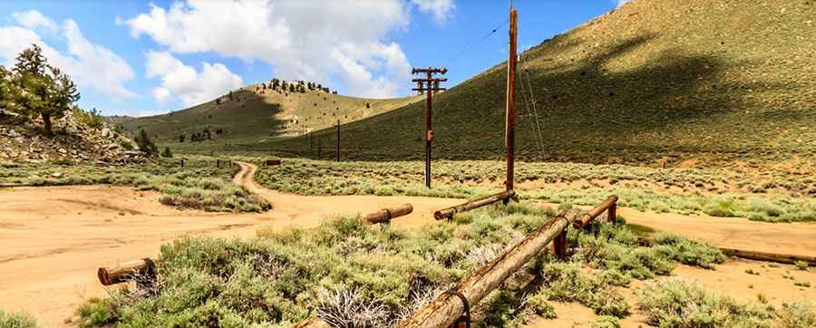
Crooked Creek Station
Crooked Creek Station is a high mountain station at an elevation of 3.090m (10,150ft) above the sea level, located in the White Mountains of Mono County, in the east central portion of the U.S. state of California. It’s one of the highest mountain roads of California.

The road to the station, located in the Bristlecone/Limber Pine Forest, is gravel, rocky, tippy and bumpy at times. The road is usually clear of snow between late June and November. Great trail for experienced wheelers. Avoid driving in this area if unpaved mountain roads aren't your strong point. Stay away if you're scared of heights. Expect a trail pretty steep. Wet conditions may make for tough driving along the muddy road. The road is unpaved. Portions are rocky and have washboards -- Keeping driving speeds below 40 km/h (25 mph) reduces the likelihood of flat tires. Although is recommended the use of high clearance vehicles, when the road is open it can usually be negotiated without difficulty by standard passenger cars. A small road east the station, climbs up to 3.255m (10,679ft) above the sea level.
Pic: Eric Larson