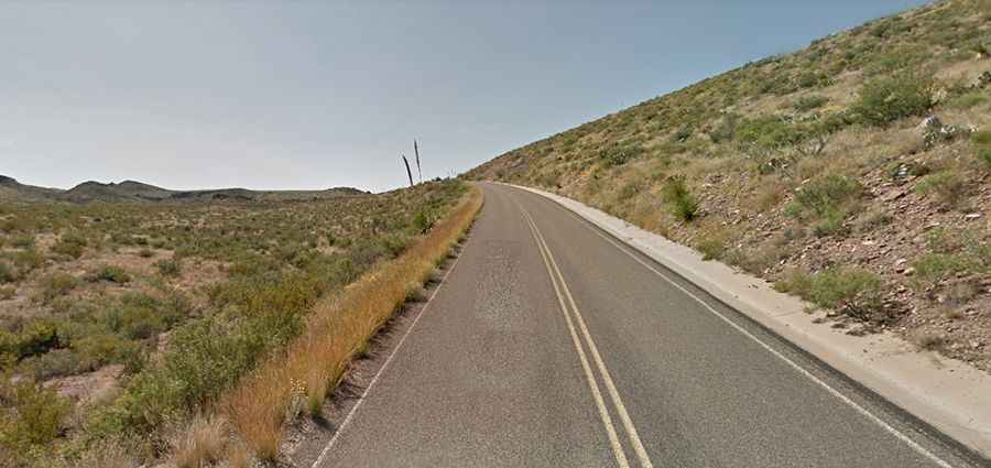
Driving the Paved Ross Maxwell Scenic Drive in Big Bend NP
Located in West Texas, in the USA, the Ross Maxwell Scenic Drive is a wonderful journey through one of America's true hidden gems: Big Bend National Park, winding along the Rio Grande.

Where is Ross Maxwell Scenic Drive?
The road is located in Brewster County, in the western part of Texas, near the Mexico border.
Why is it Called Ross Maxwell Scenic Drive?
The road is named after Ross Maxwell, Big Bend National Park’s first superintendent and geologist, who served from 1944 to 1952.
How Long is Ross Maxwell Scenic Drive?
The road is completely paved but steep, hitting a gradient of 20.4% on some of the ramps. It’s 30 miles (48 km) long. There are several sections along the road with signs warning that they may be flooded.
Where Does Ross Maxwell Scenic Drive Start and End?
Starting from Maverick Drive, the drive skirts the western slopes of the Chisos Mountains, climbing up to one of the park’s most outstanding views at Sotol Vista. It then winds down to parallel the Rio Grande at Castolon Historic District and culminates at the Santa Elena Canyon trailhead, where the pavement ends. You can make this drive a loop by reconnecting with Highway 118 from Santa Elena Canyon via unpaved Old Maverick Road. If you're in an RV or a low-clearance car, do not attempt Old Maverick Road, as it is not paved and is rough in some spots.
Is Ross Maxwell Scenic Drive Worth the Drive?
The drive is definitely worth it and should not be missed. It’s one of those unforgettable stretches of road that unfolds before you in a series of vistas and experiences. Along the way, the road showcases some of the historic and geologic features this region is famous for. This drive will amaze and astonish. There are scenic overlooks, a backside perspective of the Chisos Mountains, plenty of exhibits, and the ruins of old homesteads.