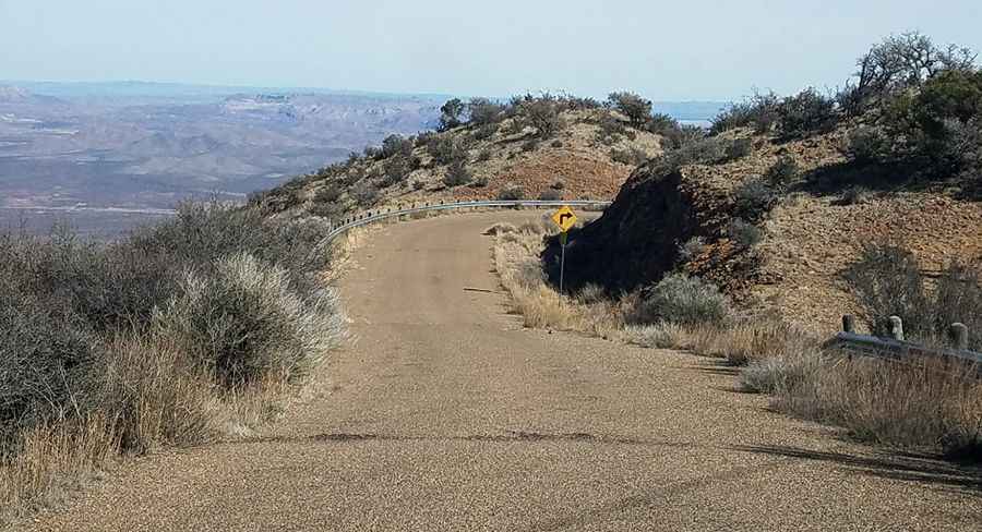
A Brutal and Remote Steep Road to Eagle Peak in Texas
Eagle Peak is a high mountain peak at an elevation of 2,281m (7,484ft) above sea level, located in Hudspeth County, in the US state of Texas. The climb is brutal, with an average gradient of 11.72%. It's one of the highest roads in Texas.

Where is Eagle Peak?
The peak is situated in southeastern Hudspeth County, in the western part of Texas, in a remote desert region. The FAA maintains a radar site at the summit, which was opened in the late 1990s. Access to Eagle Peak is by permission only from the Hayter Ranch.
Is the Road to Eagle Peak in Texas Paved?
Located in the Eagle Mountain Range, the road to the summit, also known as Devil Ridge Mountain, is called Radar Road. It’s fully paved but very steep.
How Long is the Road to Eagle Peak in Texas?
Starting from Guest Ranch Road, the ascent is 4.98km (3.1 miles) long. Over this distance, the elevation gain is 584 meters, with an average gradient of 11.72%.
Pic: MutantTA