Road trip guide: Conquering County Highway 730 in Colorado
County Highway 730 is a high mountain road located in Grand County, in the U.S. state of Colorado. It’s one of the highest roads in Colorado.
Where is County Highway 730?
The road is located south of Fraser, in the north-central part of Colorado, within the Arapaho and Roosevelt National Forests.
Is County Highway 730 unpaved?
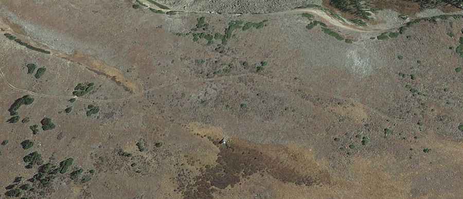
The road is completely unpaved and reaches an elevation of 3,647m (11,965ft) above sea level near its end. A 4x4 vehicle is required. The trail is usually blocked by snow until late June, with snow drifts present until early July. It typically remains open until snowfall restricts travel again in mid-fall. The drive features more than 12 hairpin turns.
How long is County Highway 730?
Starting at County Highway 725, the road is 12.87 km (8.0 miles) long. It’s a steep drive, with some sections reaching a maximum gradient of 13.6%.