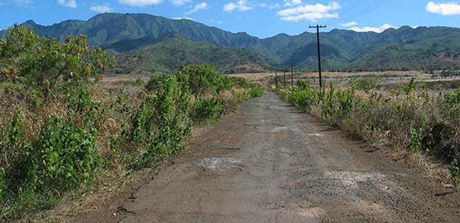
The closed road to Mount Ka'ala, the highest peak of Oahu
Mount Ka'ala is a high mountain peak at an elevation of 1,231m (4,038ft) above sea level, located in Honolulu County, in the U.S. state of Hawaii. The road to the summit is closed to private vehicles.
Where is Mount Ka'ala?
The peak, also known as Mt. Kalala, Kaʻala, or Mount Kaʻala, is located on the northernmost end of the island of Oahu, the third largest of the Hawaiian Islands, in the middle of the vast Pacific Ocean.
What is the tallest point of Oahu?
Set high in the Waianae Range, Mount Ka'ala is the highest point on the Hawaiian island of O'ahu. The area is often shrouded in a foggy mist with nearly 100% humidity. Weather changes rapidly up here so be prepared.
Can you drive to the top of Ka'ala?
The summit hosts an FAA active tracking station, so the road is totally closed to vehicles by a barrier and secured by the US Army, which is stationed at the base of the mountain, at Schofield Barracks. Security is high at this radar station; abide by marked signage.
Is the road to Mount Ka'ala paved?
The road to the summit is paved but very steep. It’s called Mount Kaala Road. It was built in the 1940s.
How long is the road to Mount Ka'ala?
Starting at Farrington Highway, the ascent is 12.39km (7.7 miles) long via 14 hairpin turns. The elevation gain is 1,225 meters. The average gradient is 9.88%.
Pic: https://blogs.ksbe.edu/nanikeaonei/mt-kaala/