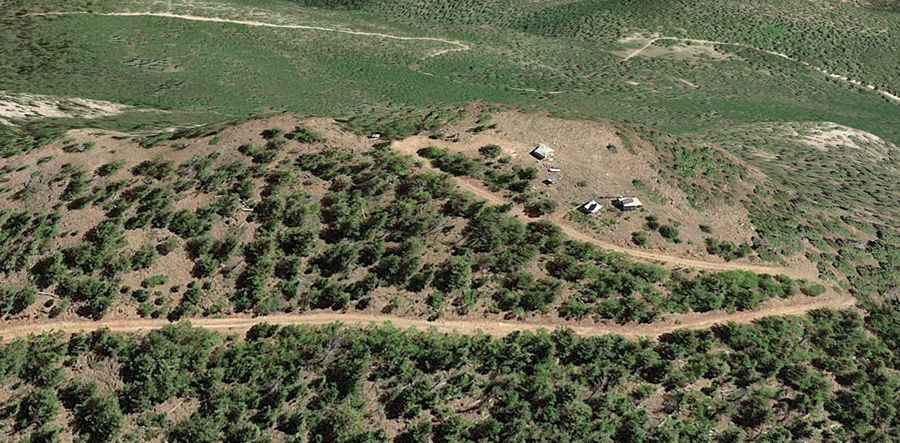
A Steep Unpaved Road to the Summit of Picuris Peak in New Mexico
Picuris Peak is a high mountain peak at an elevation of 3,280m (10,761ft) above sea level, located in Taos County, in the US state of New Mexico. It’s one of the highest roads in New Mexico.

Where is Picuris Peak?
The peak is located north of Santa Fe, in the northern part of New Mexico. There are some radio antennas and equipment at the top. The summit offers stunning views of Penasco, Truchas Peaks, Espanola, Jemez, and the Sangre de Cristo Range.
How long is the road to Picuris Peak?
The road to the summit is totally unpaved. It’s called Forest Road 114 (Picuris Peak Trail). Starting from the paved State Highway 518, the ascent is 11.26km (7.0 miles) long. Over this distance, the elevation gain is 672 meters. The average gradient is 5.96%.
Is the road to Picuris Peak open in winter?
Set high in the Picuris Mountains range, the road is usually impassable in winter and accessibility is largely limited to the summer season.