A memorable road trip to Chicoma Mountain in New Mexico
Chicoma Mountain is a high mountain peak located in Rio Arriba County, in the US state of New Mexico. A gravel road, to the north of the peak, climbs up to an elevation of 3,403 m (11,164 ft) above sea level. It’s one of the highest roads in New Mexico.
Where is Chicoma Mountain?
The mountain, also known as Tschicoma or Tchicoma, was formerly part of the slope of an enormous supervolcano. It’s located northwest of Santa Fe, in the northern part of New Mexico. The mountain is sacred to many of the Puebloan peoples of New Mexico.
Is the road to Chicoma Mountain unpaved?
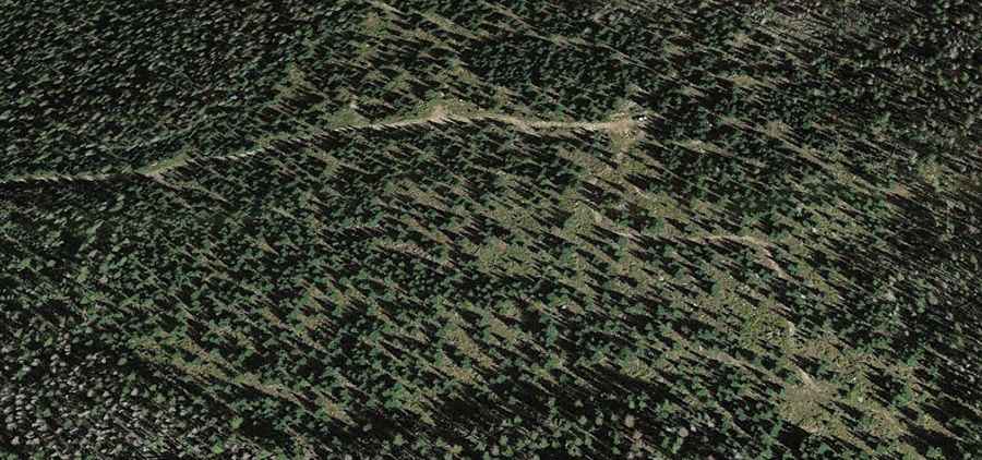
The road is totally unpaved. It’s called Santa Fe National Forest Road 144 (Forest Road 144). A 4x4 vehicle is recommended. The drive up is scenic, and the dirt and gravel road is fairly well maintained. It's good to have a GPS and the summit waypoint.
How long is the road to Chicoma Mountain?
The mountain is the highest peak in the Jemez Mountains. The road is 115 km (72 miles) long, running west to east from Cuba (in Sandoval County) to Española (in Rio Arriba County).