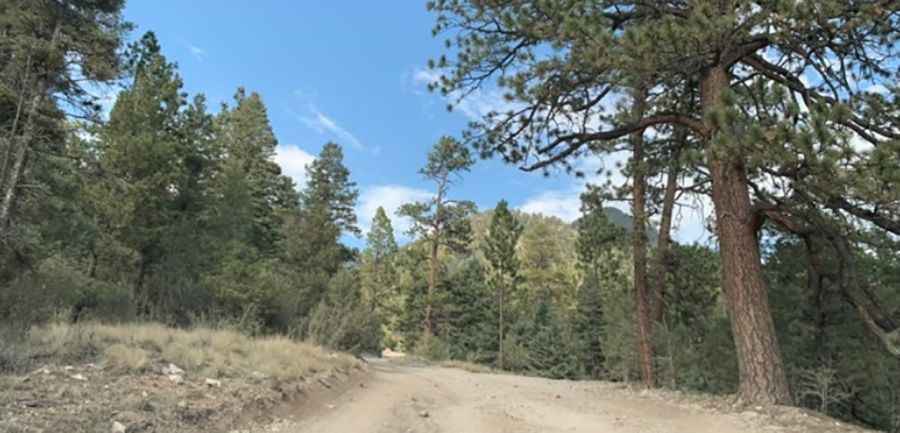
A hairpin-steep road to Cabresto Lake in New Mexico
Cabresto Lake is a high mountain lake at an elevation of 2.821m (9,255ft) above sea level, located in Taos County, in the US state of New Mexico.

Where is Cabresto Lake?
The lake is located within the Carson National Forest in the northern part of New Mexico.
Can I drive my vehicle to Cabresto Lake in New Mexico?
The primitive road to the lake is rough, narrow, and winding. It's called Forest Road 134A (Cabresto Lake Road). The drive is very winding and rocky, with 15 hairpin turns and steep drop-offs. It is typically impassable in winter. While passenger cars can navigate it in dry weather, 4x4 vehicles with high clearance are strongly recommended. Camper trailers and RVs are not advised due to the road's narrow one-way sections and steep drop-offs.
How long is the road to Cabresto Lake in New Mexico?
The road to the lake is very steep. Starting at Forest Access Road 134 - Cabresto Canyon Road - the road spans 3.37km (2.1 miles). Over this distance, there's an elevation gain of 258 meters. The average gradient is 7.65%, with a maximum gradient of 14% on some ramps.
Is Cabresto Lake in New Mexico worth it?
The road ends at the Cabresto Lake Campground, a campground with four semi-dispersed campsites encircled by towering peaks. This location is one of the few spots in the entire state of New Mexico where you can fish for brook trout.
Pic: Leah B.