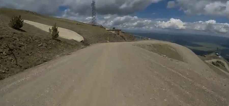
A Well-Graded Gravel Road to Sawtell Peak in Idaho
Sawtell Peak is a high mountain peak at an elevation of 3.017m (9,898ft) above sea level, located in Fremont County in the U.S. state of Idaho. It’s one of the highest roads of Idaho. Trailers are not advised due to its steepness.

How Challenging is the Road to Sawtell Peak?
Located within the Caribou-Targhee National Forest near the Montana border, the road to the summit, known as Forest Road 024 or Sawtell Peak Road, is well-graded gravel. The road features a steep gradient with numerous sharp bends. Trailers are not recommended, and those with a fear of heights might find some exposed sections daunting. Under regular conditions, standard passenger vehicles can navigate it, except during extremely wet weather. The road is well-maintained but can get busy.
How long is the road to Sawtell Peak?
Starting from US-20 in Island Park, the road to the summit is 18.50km (11.5 miles) long. Over this distance the elevation gain is 1,054 meters, with an average gradient of 5.69%. Expect many tight turns and switchbacks.
What is on the summit of Sawtell Peak?
The summit hosts a flight traffic control radar station used by various agencies for communication.
Is Sawtell Peak Road open?
Located in the eastern part of the Centennial Mountains, it’s crucial to check the weather forecast before setting out. Locals often say, "There are two seasons: Winter and July." Sudden snowstorms are a reality, and even summer can bring chilly winds. The road is closed from November 1st to June 1st. Although the FAA maintains it during winter for summit personnel, dramatic snow depths up to 25 feet and avalanche risks persist.
Is the Road to Sawtell Peak Worth the drive?
The route offers panoramic vistas of valleys, peaks, and wildlife. Named for its resemblance to a Native American chief’s profile at rest, Sawtell Peak is sometimes known as "Chief Rains in the Face." If stopping to admire the views, park safely and remain vigilant of other vehicles.
Pic&video: oldbmxer66