A memorable road trip to Virginia Lakes in California
Virginia Lakes is the name given to eight pristine alpine lakes in Mono County in the U.S. state of California. A road leads to three of them: Trumbull, Little Virginia, and Big Virginia. Topping out at 2,993m (9,819ft) above sea level, it's one of the highest roads in California.
Where are Virginia Lakes?
The lakes are located in the east-central portion of California, within the Humboldt-Toiyabe National Forest. The isolated location, hidden beneath Dunderberg Peak and Black Mountain, gives the Virginia Lakes Basin a cozy and quiet vibe, which helps keep the crowds away, making the Virginia Lakes even more appealing.
How long is the road to Virginia Lakes in CA?
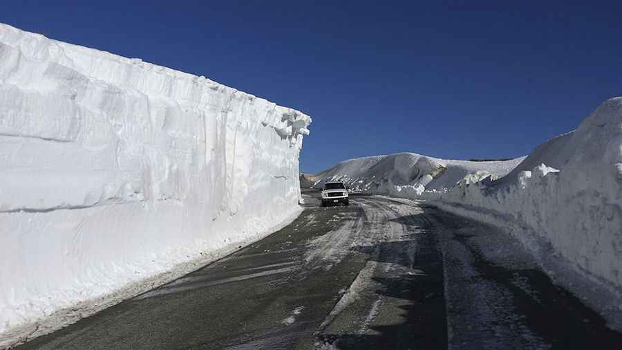
The road to the lakes is 9.81km (6.1 miles) long. It’s called Virginia Lakes Road. The journey is an easy Eastern Sierra high country experience. The road is mostly paved, and it’s unpaved for the last quarter mile. Located far enough off the beaten path to keep the crowds away, the lakes’ waters are pristine, clear, and cold.
Is the road to Virginia Lakes steep?
Set high in California's magnificent Eastern Sierra, the road to the lakes is pretty steep, hitting an 8% maximum gradient through some of the ramps. Starting at Conway Summit (U.S. Highway 395), the ascent is 9.81km (6.1 miles) long. Over this distance, the elevation gain is 511 meters. The average gradient is 5.20%.
Pic: Mono County Tourism - California's Eastern Sierra