Travel guide to the top of Angel Peak in Nevada
Angel Peak is a high mountain peak at an elevation of 2.707m (8,881ft) above sea level, located in Clark County, in the US state of Nevada.

Where is Angel Peak?
The peak, also known as Amber Peak, Angels Peak and Angle Peak, is located near Mt. Charleston, north-northwest of the city of Las Vegas.
What’s at the summit of Angel Peak?
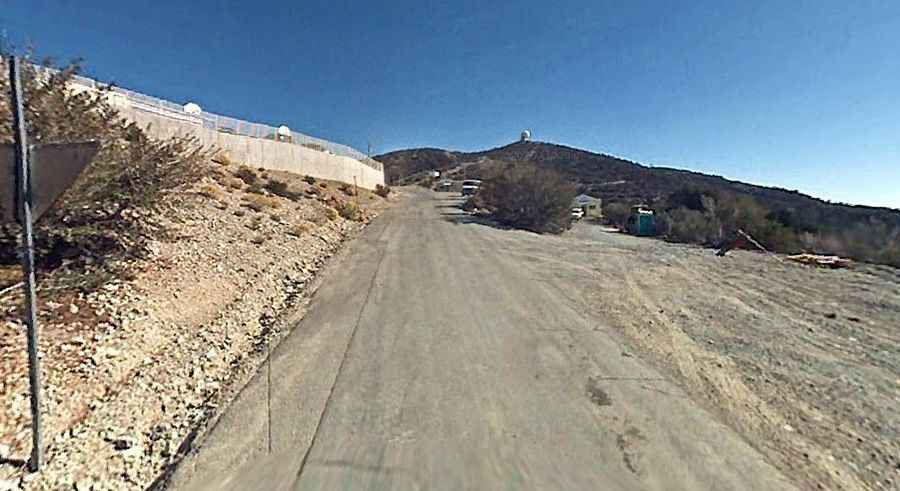
Set high in the Spring Mountains, the summit hosts a United States Air Force General Surveillance Radar station. The peak offers stunning views.
How to get to Angel Peak?
There are 2 roads to reach the summit:
West side:
The road to the summit is totally paved. It’s called Lucky Strike Road. The road is pretty steep, hitting a 9% of maximum gradient through some of the ramps. Starting at NV-158 (Deer Creek Road), the ascent is 5.31km (3.3 miles) long. Over this distance the elevation gain is 161 meters. The average gradient is 3.03%.
East side:
The road to the summit is totally unpaved. It’s called Lucky Strike Mine Road. The road is pretty steep, hitting a 9% of maximum gradient through some of the ramps. Starting at NV-157 (Kyle Canyon Road), the ascent is 21.72km (13.5 miles) long. Over this distance the elevation gain is 1239 meters. The average gradient is 5.70%. There is one section of this trail that requires an aggressive climb in a stock 4wd due to the steepness and loose rock. Stock vehicles should only run the trail in optimal conditions.