The steep road to Sawmill Mountain in New Mexico isn’t an easy one
Sawmill Mountain is a high mountain peak, at an elevation of 3,346m (10,977ft) above sea level, located in Taos County, in the U.S. state of New Mexico. It’s one of the highest roads in New Mexico.
Where is Sawmill Mountain?
The peak is located in the northern part of New Mexico, not far from the Colorado border, within the Carson National Forest. At the summit, there are communication towers and facilities.
How long is the road to Sawmill Mountain?
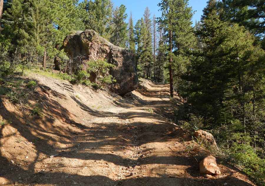
The forest service road to the summit is totally unpaved and very challenging, as it comprises narrow parts, steep sections, and a few hairpin turns. Starting from Red River (a resort town), the road to the summit is 4.5 km (2.79 miles) long. Over this distance, the elevation gain is 668m and the average gradient is 14.84%.
Is the road to Sawmill Mountain open in winter?
Set high in the Sangre de Cristo Mountains, the road is totally impassable from late October through late June or early July. Exercise caution when snow conditions are unstable.
Pic: Joel T