The Ultimate Guide to Traveling to Agua Fria Peak in New Mexico
Agua Fria Peak is a high mountain peak at an elevation of 3,380m (11,089ft) above sea level, located in southwestern Colfax County, in the U.S. state of New Mexico. It’s one of the highest roads in New Mexico.
Where is Agua Fria Peak?
The peak, also known as Angel Fire Peak, is located east of Angel Fire, in the northern part of New Mexico, within the picturesque Moreno Valley.
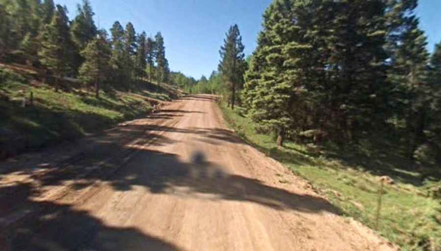
Is the road to Agua Fria Peak unpaved?
The road to the summit is completely unpaved. It’s called Angel Fire Peak Road. Starting from the paved NM-434 road, the ascent is 29.77km (18.5 miles) long. The trail is narrow, with few places for passing, making encounters with other vehicles a challenge. To drive this road, you need a high-clearance vehicle, but a 4x4 vehicle is recommended. The last part of the road is blocked with a gate.
Is the road to Agua Fria Peak open in winter?
Set high in the Sangre de Cristo Mountains, the road is totally impassable in winter, often remaining closed until July 4th or later.