How To Travel The County Road 36 in Colorado?
County Road 36 is a high mountain road located in Hinsdale County, in the U.S. state of Colorado. It’s one of the highest roads in Colorado, topping out at 3.772m (12,375ft) above sea level.
Where is County Road 36 in Colorado?
The road is located south of Lake City (the county seat of Hinsdale County), in the southwestern part of Colorado. It runs parallel to the iconic Million Dollar Highway. There are several ruined mines along the drive.
How long is County Road 36 in Colorado?
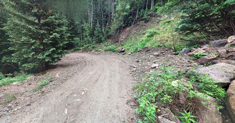
The road, also known as Wager Gulch Road, is totally unpaved. It’s 7.88km (4.9 miles) long, running north-south from County Road 30 to the Upper Carson ghost town, situated almost directly on the Continental Divide at nearly 12,000 feet. It ends at the battered remains of the Old Carson mine site.
How challenging is County Road 36 in Colorado?
The road is totally unpaved. Be sure to have experience on back roads if you attempt this trail. The road is very narrow, steep, and has several tight switchbacks. Keep in mind this is a serious 4WD road. It’s narrow, has a minimum of 4 blind hairpin turns, water crossings, and some serious rocks/trees/etc. to navigate. The treacherous road is well worth the drive; however, it is steep in places (hitting a 22% maximum gradient through some of the ramps) and has a limited number of places to pass other vehicles. Very little traffic on the trail. You’ll need a high-clearance, four-wheel-drive vehicle if you plan on visiting the several remaining empty buildings and relics. This road is also open to OHVs, motorcycles, hikers, and bicyclists. The trail has steep drop-offs that are scary for a novice.
Is County Road 36 in Colorado open in winter?
Sitting on top of the Continental Divide, the road is totally impassable from October to June.
Pic: kenny parish