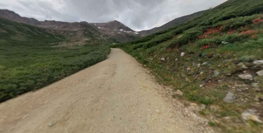
The Wild Road to Kite Lake, Outside of Alma
Kite Lake is a high mountain lake at an elevation of 3,671m (12,043ft) above sea level, located in Park County, in the U.S. state of Colorado. It's one of the highest roads in Colorado.

Where is Kite Lake?
The lake is located north of Alma, in the central part of Colorado, to the west of Mount Bross.
Is the Road to Kite Lake Unpaved?
The bumpy road to the lake is totally unpaved. It’s called Kite Lake Road (Park County Road 8). This road can be driven with a passenger car, but it can be very rugged and rutted after a hard winter. The road gets rougher as you go up. Most cars can make it near the Sweet Home Mine, but higher clearance is recommended. The last mile of this road can be rougher, but a good-clearance 2WD should still be able to make it when the road is dry. It's best to take a car with some high clearance and possibly 4x4 capabilities if rain is in the forecast.
How Long is the Road to Kite Lake?
Starting from Alma, the highest incorporated municipality in the United States with permanent residents, the road is 8.85km (5.5 miles) long. Over this distance, the elevation gain is 510 meters. The average gradient is 5.76%.
Is the Road to Kite Lake Open in Winter?
Set high in the Mosquito Range of the Rocky Mountains, the road, with amazing views, usually opens by early June each year. This area is heavily affected by seasonal weather. The road is often graded in summer, but this can vary from year to year. Check with the Forest Service in Fairplay for the latest conditions. It can be very windy near the lake. There is heavy summer traffic.
Pic: Tyler Carter