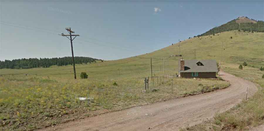
A memorable road trip to Mount Pisgah in Colorado
Mount Pisgah is a high mountain peak at an elevation of 3,173m (10,410 ft) above sea level, located in Teller County, in the U.S. state of Colorado.

Where is Mount Pisgah?
The peak is located south of Denver in the central part of Colorado, on the west side of the picturesque Cripple Creek.
Is the road to Mount Pisgah in Colorado unpaved?
The road to the summit is totally unpaved. It’s called Mount Pisgah Road (County Route 10) and is impassable in winter. A 4x4 vehicle is required. The trail is narrow, with few places for passing, so meeting someone can be a challenge. It’s a private road with no public access.
How long is the road to Mount Pisgah?
The road to the summit is steep. Starting from the paved Teller County Road 1, the ascent is 3.54 km (2.2 miles) long. Over this distance, the elevation gain is 282 meters, with an average gradient of 7.96%.