A Memorable Road Trip to Bull Creek Pass in Utah
Bull Creek Pass is a high mountain pass at an elevation of 3,206m (10,518ft) above sea level, located in Garfield County, in the U.S. state of Utah. It’s one of the highest roads in Utah.

Where is Bull Creek Pass?
The pass is located north of Boulder, in the southeastern part of Utah, within Capitol Reef National Park. Bull Creek Pass takes you up and through the Henry Mountains.
Is Bull Creek Pass Unpaved?
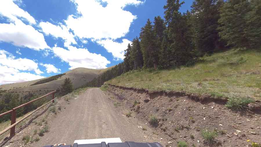
The road to the summit is completely unpaved. It’s called BLM 14635 (Bull Creek Pass Road). There are numerous rough sections, steep grades, and blind curves. The road is designed for 4WD vehicles only. The trail is windy, twisty, rugged, and steep in spots, with single-lane sections that are thoroughly unpaved.
How Long is the Road Through Bull Creek Pass?
The pass is 105.89 km (65.8 miles) long, running west-east from the paved UT-12 to the paved UT-95.
Is Bull Creek Pass Open in Winter?
Accessibility is largely limited to the summer season. It is usually open year-round in the lower elevations. However, sections of the road can be washed out after periods of heavy rain.
Pic: Shannon Bushman