How to get by car to Lake Sabrina in California?
Lake Sabrina is a high mountain lake at an elevation of 2,796 m (9,173 ft) above sea level, located in Inyo County, in the U.S. state of California. It’s one of the highest roads in California.

Where is Lake Sabrina in California?
The lake is located just 20 minutes southwest of Bishop, in the eastern part of California, within the Inyo National Forest. The lake has a café as well as a dock. The dam was built in 1907-08.
Why is it called Lake Sabrina?
The lake, popular for various recreational activities, is named after Mrs. Sabrina Hobbs, the wife of C.M. Hobbs, the first General Manager of the California Nevada Power Company, which built the dam.
How long is the road to Lake Sabrina in California?
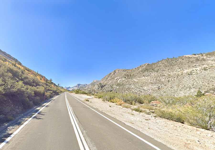
The scenic road to the lake is called California State Route 168 (Lake Sabrina Road). It is fully paved and is 29.45 km (18.3 miles) long, starting from Bishop, the most populous place in Inyo County.
Is the road to Lake Sabrina in California open in winter?
Set high in the Sierra Nevada mountain range, the road is subject to closure during the winter months, usually not opening until mid- or late April due to snow removal. The winter road closure gate is actually located to the southwest of Aspendell.