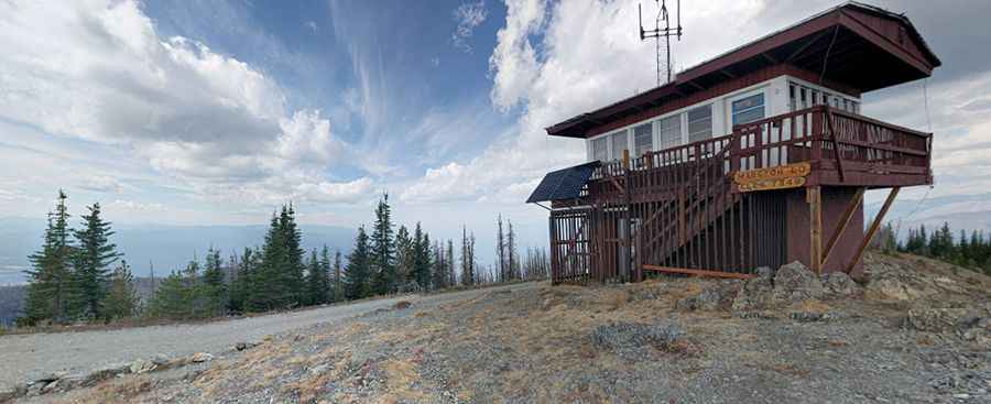
How to get by car to the lookout at Mount Marston in Montana?
Mount Marston is a high mountain peak at an elevation of 2,238m (7,342ft) above sea level, located in Lincoln County, in the U.S. state of Montana.

Where is Mount Marston in Montana?
The peak is located just south of Eureka in the northwestern part of Montana. At the summit, there’s a lookout tower built in 1932. On a clear day, the peaks of Glacier National Park are visible on the horizon.
Is the road to the lookout at Mount Marston unpaved?
The road to the summit is completely unpaved. It’s called NF-900. The road to the lookout isn’t in great condition. It’s a typical forestry road and not for the faint-hearted. There are many sections with toe-curling drops to one side. Remember to take a spare tire, just in case. A 4x4 vehicle is required.
How long is the road to the lookout at Mount Marston?
Expect a steep trail. Starting at Stryker, the road to the summit is 23.97km (14.9 miles) long. Over this distance, the elevation gain is 1,215 meters. The average gradient is 5.06%.
Is the road to the lookout at Mount Marston open in winter?
Set high in the Kootenai National Forest, the road is usually impassable in winter.
Pic: Glen Foster