How to get by car to Porphyry Peak in Montana?
Porphyry Peak is a high mountain peak at an elevation of 2,500 meters (8,202 feet) above sea level, located in the US state of Montana.
Where is Porphyry Peak?
The peak is located on the boundary between Meagher and Cascade counties, in the central part of Montana, within the Lewis and Clark National Forest.
What’s at the summit of Porphyry Peak?
At the summit, there’s a lookout tower built in 1960, known as the Porphyry Peak Lookout Tower. It is manned from June until September and offers spectacular views of the national forest.
How long is the road to Porphyry Peak?
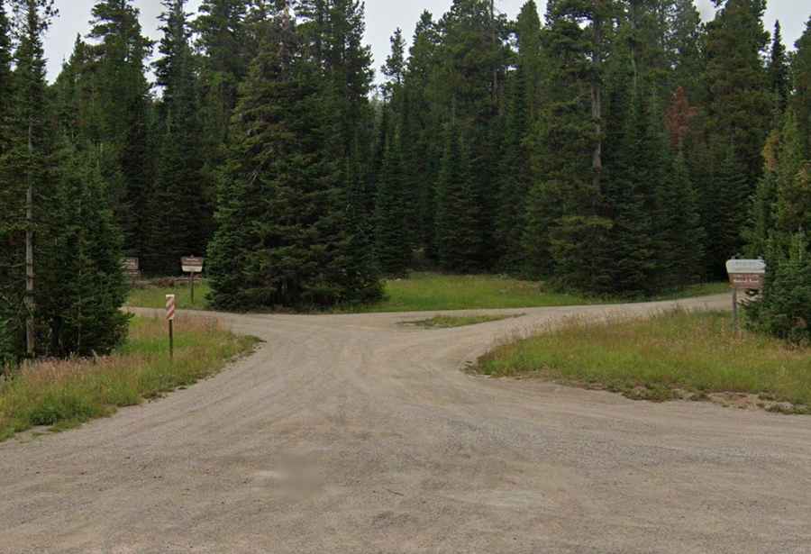
The road to the summit is completely unpaved. It’s called Forest Service Road 834. Starting from Kings Hill Pass, the road to the summit is 2.89 km (1.80 miles) long. Over this distance, the elevation gain is 242 meters, with an average gradient of 8.37%.
Is the road to Porphyry Peak open in winter?
Set high in the Little Belt Mountains, the road through the pass is usually open year-round. However, winter driving conditions can be difficult, so check road conditions before traveling.