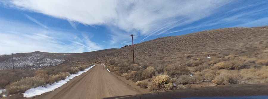
A Memorable Road Trip to Potato Peak in California
Potato Peak is a high mountain peak at an elevation of 3,060m (10,039ft) above sea level, located in Mono County, in the U.S. state of California. It’s one of the highest roads in California.

Where is Potato Peak?
The peak is located in the east-central part of California, near the Nevada border, within the Bodie Hills. From the summit, the views of the Sweetwater Mountains are spectacular. You'll also enjoy excellent views of the Sierra Nevada Range to the west and the desert ranges of Nevada to the east.
How Long is the Road to Potato Peak?
The road to the summit is completely unpaved, requiring a 4x4 vehicle. Starting from the paved Bodie Road (CA-270), the ascent is 8.69 km (5.4 miles) long. Over this distance, the elevation gain is 559 meters, with an average gradient of 6.43%.
Is the Road to Potato Peak Open in Winter?
Located in a profoundly isolated part of California, the road is usually impassable during the winter months.
Pic: Daniel Koopman