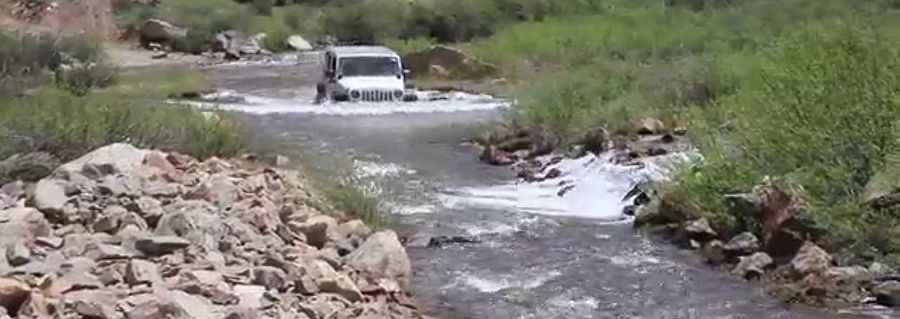
Crossing rivers on the scenic Halfmoon Road in Colorado
Halfmoon Road (FSR 110) is a challenging road located in Lake County, in the U.S. state of Colorado. Many parts of the road cross rivers and water sections. In the spring, water crossings may be too deep to safely cross.

How long is Halfmoon Road in CO?
The road, also known as Halfmoon Creek Trail, is 19.63km (12.2 miles) long, running from CO-300, in Leadville, to the historic Champion Mill. The road ends at 3.596m (11,797ft) above sea level. A minor gravel road south of the mill climbs up to Mount Champion, at an elevation of 3.930m (12,893ft) above sea level.
Is Halfmoon Road in CO challenging?
The road is totally unpaved and pretty bumpy. It crosses rivers (Halfmoon Creek) and water sections. It's especially indicated to be driven with high clearance 4x4 cars. The water level at the creek crossing can be over your hood during the spring thaws.
Is Half Moon Road in Leadville open?
The road is closed until further notice. Visitors still are able to access the Halfmoon East and West Campgrounds. Due to its elevation, this road is usually impassable from late October through late June or early July (depending on snow).
Is Halfmoon Road in CO steep?
Running through beautiful Colorado landscapes, the road is very steep, hitting a 14% maximum gradient through some of the ramps. Starting at Leadville, the elevation gain is 700 meters. The average gradient is 3.56%.
Pic: NYCO