How to Get to the Lookout at La Mosca Peak in New Mexico by Car?
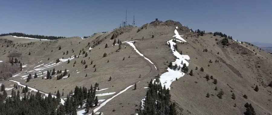
La Mosca is a high mountain peak at an elevation of 3,364m (11,036 ft) above sea level, located in Cibola County, in the U.S. state of New Mexico. It’s one of the highest roads in New Mexico.

Where is La Mosca Peak?
The peak is located in the northwestern part of New Mexico, within the Cibola National Forest.
What’s at the Summit of La Mosca Peak?
Located north of Mt. Taylor, the summit hosts a lookout tower built in the 1960s, replacing an earlier L-4 lookout dating back to the early 1930s. It offers tremendous views to the east, south, and west. For safety, be sure to check the weather forecast before your trip. If thunderstorms are in the area, avoid visiting the lookout.
Is the Road to La Mosca Peak Unpaved?
The road to the summit is entirely unpaved, rough, and rocky. Known as Forest Service Road 453 (La Mosca Lookout Road), it requires high-clearance, 4-wheel-drive vehicles—especially in wet weather. However, 2WD vehicles can make it nearly all the way to the summit. Access is mostly limited to summer. The climb is very exposed and prone to frequent lightning strikes
How Long is the Road to La Mosca Peak?
Set high in the northernmost part of the Manzano Mountains, the road to the summit is 7.72 km (4.8 miles) long, starting from NM-547. Over this distance, the elevation gain is 619m, with an average gradient of 8.01%.
Pic: ManzanoMan Adventure