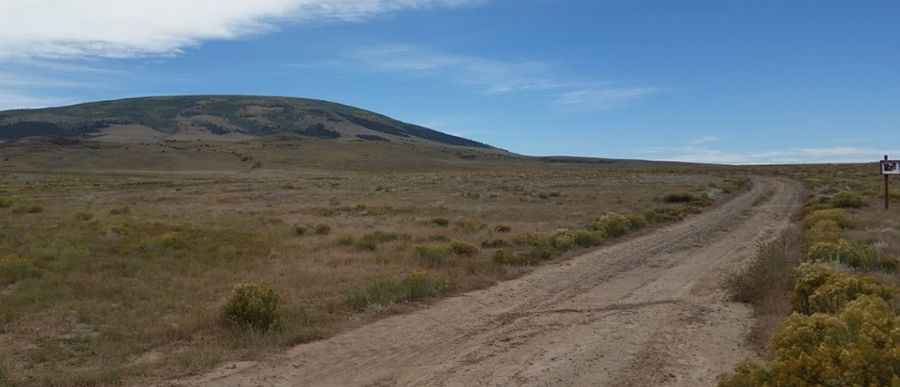
How to drive to the top of San Antonio Mountain in New Mexico?
San Antonio Mountain is a high mountain peak at an elevation of 3.335m (10,941ft) above sea level, located in Rio Arriba County, in the US state of New Mexico. It’s one of the highest roads in New Mexico.

San Antonio Mountain is a high mountain peak at an elevation of 3.335m (10,941ft) above sea level, located in Rio Arriba County, in the US state of New Mexico. It’s one of the highest roads in New Mexico.
Where is San Antonio Mountain?
The peak is located in the northern part of New Mexico, within Carson National Forest. The summit hosts communication facilities.
Is the road to San Antonio Mountain unpaved?
The road to the summit is completely unpaved. It’s called Forest Road 418. 4x4 vehicles only. The drive is quite challenging, with steep sections and 10 hairpin turns.
How long is the road to San Antonio Mountain?
Starting from US Highway 285, the road to the volcanic peak is 6.59km (4.1 miles) long. Over this distance, the elevation gain is 758 meters. The average gradient is 11.50%.
Is San Antonio Mountain open in winter?
Set high in the San Juan Mountains, a subrange of the Rocky Mountains, within the Taos Plateau volcanic field, the road to the summit is usually impassable in winter.
Pic: Seth Knight