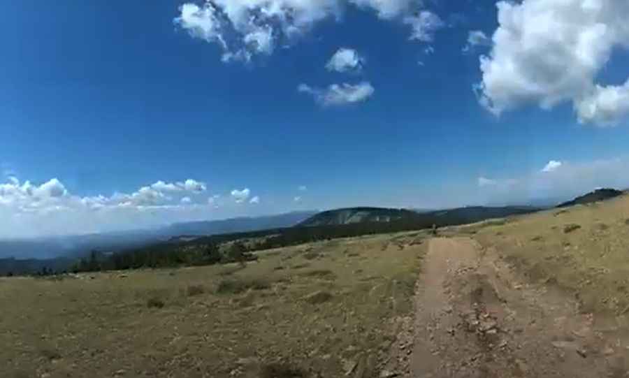
Travel Guide to the Top of Cerro Vista in New Mexico
Cerro Vista is a high mountain peak at an elevation of 3,645 m (11,958 ft) above sea level, located in the U.S. state of New Mexico. It’s one of the highest roads in New Mexico.

Where is Cerro Vista?
The peak is located on the boundary between Mora and Taos counties, in the northern part of New Mexico, within Carson National Forest.
Is the Road to Cerro Vista Unpaved?
The road to the summit is completely unpaved and is known as Forest Road 124. A 4x4 vehicle is essential to complete the drive.
How Long is the Road to Cerro Vista?
Expect a steep trail on the way up. Starting from Forest Road 440, the ascent is 7.08 km (4.4 miles) long. Over this distance, the elevation gain is 667 meters, with an average gradient of 9.42%.
Is the Road to Cerro Vista Open in Winter?
Set high in the Sangre de Cristo Mountains, the road is typically impassable in winter. It’s not generally snow-free until late June or even July in some years.
Pic&video: 1971OverlandDeuce