How to get by car to the lookout at Bill Williams Mountain in Arizona?
Bill Williams Mountain is a high mountain peak at an elevation of 2,822 m (9,259 ft) above sea level, located in Coconino County, in the U.S. state of Arizona. It's one of the highest roads in Arizona.
Where is Bill Williams Mountain?
The peak is located south of Williams, in the north-central part of Arizona, within the Kaibab National Forest. The summit hosts a manned lookout tower and numerous communications equipment.
Why is it called Bill Williams Mountain?
It is named for Old Bill Williams, a scout, guide, and mountain man, who lived in the 1800s.
Is the road to Bill Williams Mountain unpaved?
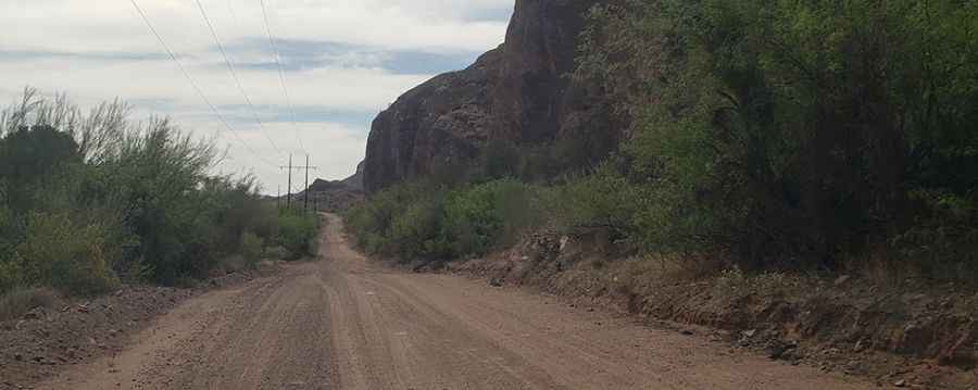
The road to the summit is totally unpaved. It’s called Forest Road 111. The road is well maintained but steep. It’s a narrow dirt road, pretty rough in spots where you’ll need to be careful of fallen trees. Reasonable high clearance is needed for most dry conditions. 4-wheel drive is probably not needed.
How long is the road to Bill Williams Mountain?
Expect a trail that’s pretty steep. Starting from Perkinsville Road (County Road 73), the ascent is 10.78 km (6.7 miles) long. Over this distance, the elevation gain is 604 meters. The average gradient is 5.60%.
Is the road to Bill Williams Mountain open in winter?
The road is usually impassable in winter. Visitors should be prepared for high-altitude conditions. Summertime temperatures average 70 degrees but can drop as low as 30 degrees at night or during the frequent summer afternoon thunderstorms. High winds frequently occur, and thunderstorms are always a concern.
Pic: desert Man