The Breathtaking Road to Taylor Mountain in Colorado
Taylor Mountain is a high mountain peak at an elevation of 3,899m (12,791ft) above sea level, located in Chaffee County, in the U.S. state of Colorado. This is truly a breathtaking trail and is one of the highest roads in Colorado.

Where is Taylor Mountain?
The peak is situated in central Colorado, within the San Isabel National Forest.
Is the Road to Taylor Mountain in Colorado Unpaved?
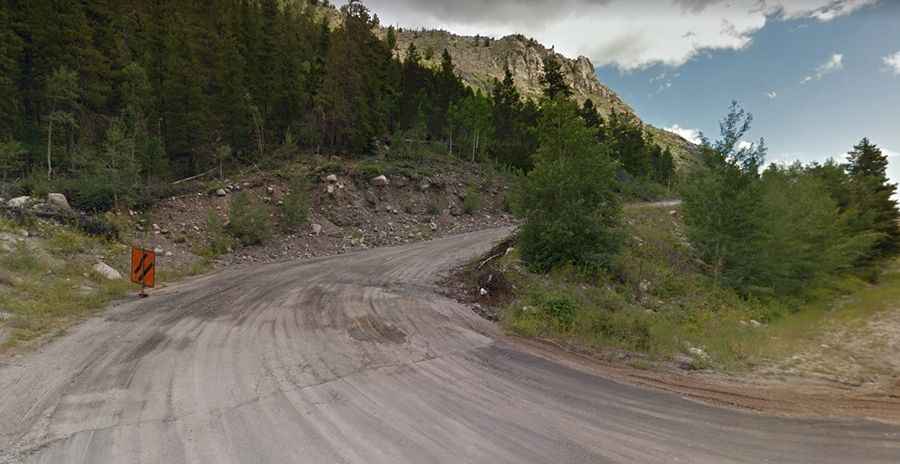
The road to the summit is an old mining road called Taylor Mountain Trail (Chaffee County Road 228). It is completely unpaved, with loose rocks. The climb features many switchbacks and is quite steep. There are some narrow shelf sections, so stay alert for potential turnouts as you may encounter traffic in tight spots. A 4x4 vehicle with high clearance is required.
How Long is the Road to Taylor Mountain in Colorado?
The road to the summit is very steep. Starting from the paved US-50 near Monarch, the ascent is 8.76km (5.44 miles) long. Over this distance, the elevation gain is 1,001 meters, with an average gradient of 11.42%.
Is the Road to Taylor Mountain in Colorado Open in Winter?
Set high in the southern Sawatch Range, this road is usually impassable from late October through late June or early July.