Ultimate 4WD Destination: Buckeye Peak in Colorado
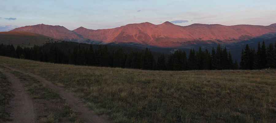
Buckeye Peak is a high mountain peak located in Lake County, in the U.S. state of Colorado. A gravel road to the south climbs up to 3,757m (12,326ft) above sea level. This is truly a breathtaking trail. It’s one of the highest roads in Colorado.
Where is Buckeye Peak?
The peak is located just north of Leadville, in the central part of Colorado, within the San Isabel National Forest. The views from the top of this hill are phenomenal, and you can see Leadville, Turquoise Lake, and the mountains behind it. You can also see Mount Elbert.
How long is the road to Buckeye Peak?
The road to the summit is totally unpaved. It's a pretty gnarly 4WD road, filled with loose rocks and dirt. A high-clearance 4x4 SUV with a low-range vehicle is required. Starting from the paved CO-91 road, the road is 3.9 km (2.42 miles) long. It ends near an alpine lake known as Buckeye Lake. Over this distance, the elevation gain is 521 m, and the average gradient is 13.35%.
Is the road to Buckeye Peak open in winter?
Set high in the Sawatch Range, the road is totally impassable in the winter. The snow-free season is usually from mid-June through early October.
Pic: Michael Roberts