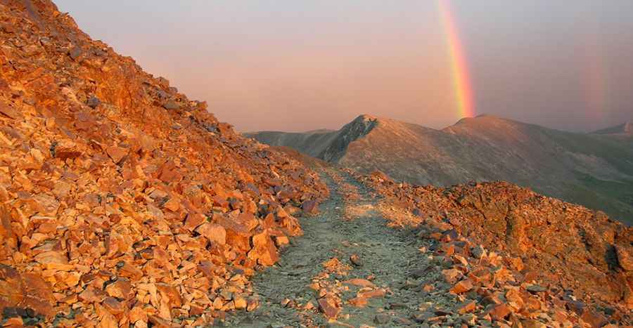
A Brutal but Stunning Road to Santa Fe Peak in Colorado
Santa Fe Peak is a high mountain peak at an elevation of 4,008m (13,149ft) above sea level, located in Summit County, in the U.S. state of Colorado. The road to the summit may be intimidating for novice drivers. It’s one of the highest roads in Colorado.

Where is Santa Fe Peak?
The peak is located in eastern Summit County, in the central part of Colorado, west of Denver.
How long is the road to Santa Fe Peak in Colorado?
The road to the summit is entirely unpaved and is called Santa Fe Peak Road (#264). Starting from the town of Montezuma, the ascent is 7.56km (4.7 miles) long, with an elevation gain of 855 meters. The average grade is 11.30%.
How challenging is the road to Santa Fe Peak in Colorado?
It’s a narrow shelf road with a long series of switchbacks and steep drop-offs on one side. The road is an old mining route. There are many switchbacks at the start, though most are wide enough to allow passing vehicles. The trail is relatively easy but bumpy in spots. A 4-wheel drive vehicle with high clearance is required.
Is the road to Santa Fe Peak in Colorado worth the drive?
Located within the White River National Forest, the summit offers stunning views of the Gore, Tenmile, and Front Ranges. Winter conditions arrive early and last late on this trail, so it's generally safe to drive only in the middle of summer.
Pic: Computer Works