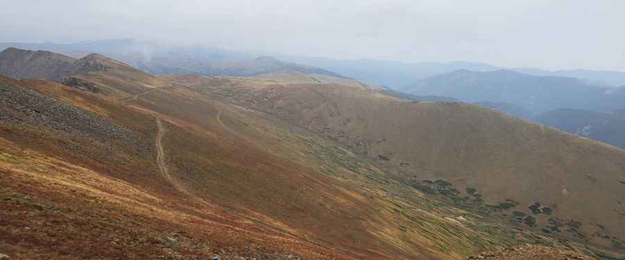
Road Trip Guide: Conquering McClellan Mountain in Colorado
McClellan Mountain is a high mountain peak at an elevation of 3,996m (13,110ft) above sea level, located in Clear Creek County, in the U.S. state of Colorado. It’s one of the highest roads in Colorado.

Where is McClellan Mountain?
The peak is located west of Denver, in the northern part of Colorado. The trail to the summit follows the remains of a narrow railroad, called the Argentine Central Railroad, which began construction in 1905 and was completed nearly a year later. The trail is a testament to engineering with six switchbacks that allowed the train to zigzag up the mountain.
Is the Road to McClellan Mountain Unpaved?
The road to the summit is totally unpaved and rocky. Known as McClellan Mountain Road, it is a 4WD trail, requiring an aggressive stock SUV with low-range capability. The road is steep, narrow, and includes tight switchbacks. The first section, right after turning off Guanella Pass Road, is actually the hardest part.
How Long is the Road to McClellan Mountain?
The road to the summit is 14 km (8.7 miles) long, starting from the paved County Road 381 (Guanella Pass Road). Over this distance, the elevation gain is 1,089m with an average gradient of 7.77%. Accessibility is largely limited to the summer season. The drive offers some amazing views, including historic sites like Santiago Mine and Ghost Town—a must-see!
Pic: Nico Rumiz