A memorable road trip to Mount Brigham in Utah
Mount Brigham is a high mountain peak at an elevation of 3.559m (11,676ft) above sea level located in Piute County, in the US state of Utah. It’s one of the highest roads in Utah.

Is the road to Mount Brigham in Utah unpaved?
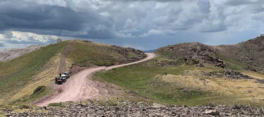
The road to the summit is totally unpaved. It’s called Wedge Road. The road is rugged so higher clearance and 4WD are required. The drive is challenging, with steep parts and about 20 hairpin turns.
Is the road to Mount Brigham in Utah worth the drive?
Located in the central part of Utah, at the summit there is a large roof top antenna structure of communications. The trail follows numerous remnants of Utah's mining heritage.
How long is the road to Mount Brigham?
Starting from Marysvale, the ascent is 18.6km (11.55 miles) long. Over this distance, the elevation gain is 1.732 meters. The average gradient is 9.31%.
Is the road to Mount Brigham open in winter?
Set high in the Tushar Mountains, accessibility to the summit is largely limited to the summer season. It is not generally snow-free until late June or even July in some years.
Pic: Jon Hubbard