A Memorable Road Trip to Mount Dutton in Utah
Mount Dutton is a high mountain peak at an elevation of 3,371m (11,059ft) above sea level, located in Garfield County, in the U.S. state of Utah. It’s one of the highest roads in Utah.
Where is Mount Dutton?
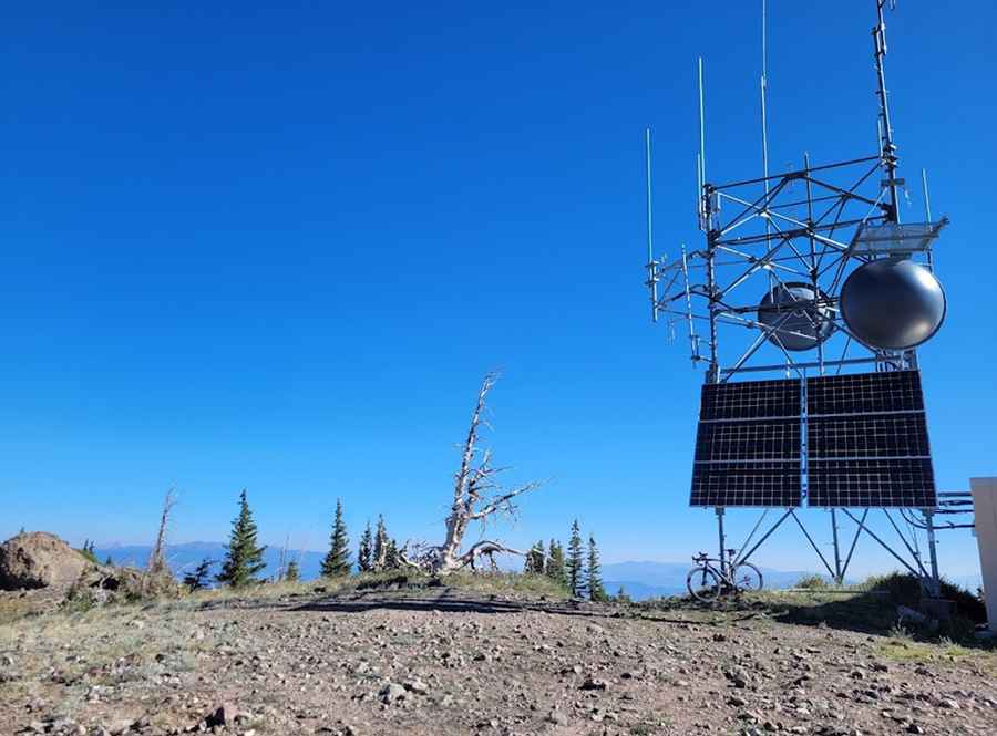
The peak is located in the south-central part of Utah, within the Dixie National Forest. The summit is crowned with radio towers.
Why is it called Mount Dutton?
The peak was named in honor of Clarence Dutton, an American geologist and U.S. Army officer.
Is the road to Mount Dutton unpaved?
The road to the summit is entirely unpaved. It’s called Mount Dutton Road (Forest Road 353). A 4x4 vehicle is required.
How long is the road to Mount Dutton?
Starting at Forest Road 125, the road to the summit is 1.77 km (1.1 miles) long. Over this distance, the elevation gain is 128m, and the average gradient is 7.23%.
Is the road to Mount Dutton open in winter?
Set high in the Sevier Plateau of Utah, the road is completely impassable in winter.
Pic: Mark F