Ultimate 4wd destination: Bruin Point in Utah
Bruin Point is a high mountain peak at an elevation of 3,107m (10,193ft) above sea level, located in Carbon County, in the U.S. state of Utah. It’s a must-drive for those aiming to reach Utah’s top 100 most prominent peaks.

Where is Bruin Point?
Set high in the northeastern part of Utah, the summit is dotted with communication equipment, so the road to the top is usually well-maintained.
Is the Road to Bruin Point Unpaved?
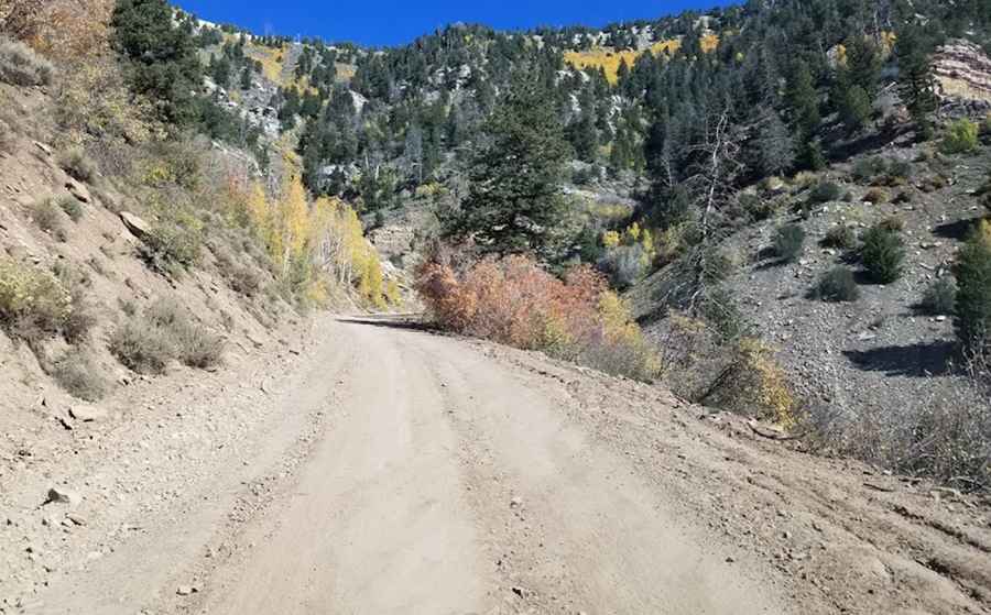
The road to the summit is entirely unpaved and quite rocky. It’s called Bruin Point Road (also known as Water Canyon Road). This steep dirt road is best tackled with a high-clearance vehicle, and low-range gears will be especially useful (especially for the descent). However, most regular vehicles might be able to make it up.
How Long is the Road to Bruin Point?
Starting from Sunnyside, the road to the summit is 16 km (10.0 miles) long. Over this distance, the elevation gain is 1,114 m with an average gradient of 6.96%. The road is narrow, steep, and winding, with perhaps the biggest challenge being encounters with vehicles coming from the opposite direction.
Pic: Kyle R.