Driving Through Forest Road 132 in the Mountains of Utah
Forest Road 132 is a scenic drive running through the high mountains of Garfield County, in the U.S. state of Utah. It's one of the highest roads in Utah.
Where is Forest Road 132?
The road, also known as Barney Top Road, is located west of Escalante, in the south-central part of Utah, within the Dixie National Forest.
Is Forest Road 132 unpaved?
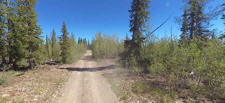
The road is entirely unpaved. The trail presents a moderate challenge with varying surfaces and conditions. It’s narrow and treacherous, requiring a high-clearance, 4-wheel-drive vehicle. Travel is only recommended in dry conditions, and caution is advised due to log trucks. Some sections are steep, with a maximum gradient of 13%.
How long is Forest Road 132?
Forest Road 132 spans 32.66 km (20.3 miles), running west-north from the paved Johns Valley Road to Utah Forest Road 17 (FH-17).
Is Forest Road 132 open in winter?
The road reaches an elevation of 3,237 m (10,620 ft) above sea level and climbs up to Barney Top, a mountain pass at 3,180 m (10,433 ft). It is typically impassable from late October through late June or early July, depending on snowfall.