Road trip guide: Conquering La Salle Pass in Colorado
La Salle Pass is a high mountain pass at an elevation of 2,973m (9,753ft) above sea level, located in Park County, in the U.S. state of Colorado.

Where is La Salle Pass?
The pass is located right in the center of Colorado, within the Pike National Forest.
Why is it called La Salle Pass?
The pass is named after Samuel La Salle, an early miner with a claim by the same name, who lived near Tarryall Creek.
How long is La Salle Pass?
The pass road is 9.81km (6.1 miles) long, running west-east from Forest Road 44.2 A to County Road 31.
Is La Salle Pass unpaved?
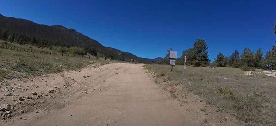
The road to the summit is totally unpaved. It’s called La Salle Pass Road. It's a smooth dirt road with a few muddy spots and mild rocky patches. High ground clearance is recommended. It’s an easy 4WD road that crosses the Puma Hills between Terryall and Spinney Mountain Reservoir.
Pic&video: Doug Hudson