Conquer the Thrilling Road to Elwood Pass in Colorado's San Juan Mountains
Elwood Pass is a high mountain pass at an elevation of 3.559m (11,676ft) above the sea level located in Rio Grande County, in the U.S. state of Colorado. There are a few water crossings along the way.

Where is Elwood Pass?
The pass is located within the Rio Grande National Forest, in the southwestern part of Colorado.
How long is the road to Elwood Pass in Colorado?
The road to the summit is totally unpaved. It’s called East Fork Road (FS 667). Starting at the paved Highway 160, the road to the summit is 28.80km (17.9 miles) long. The drive is very steep, hitting a 20% of maximum gradient through some of the ramps. The elevation gain is 1.334 meters. The average gradient is 4.63%.
Is Elwood Pass in Colorado open?
Set high in the San Juan Mountains, the road is impassable in winters. The road is narrow and the views are great. When the road is wet it tends to get slick. The drive is beautiful, but can be treacherous running along a high cliff. A minor trail, near the summit, climbs up to Summit Pass, at an elevation of 3.597m (11,801ft) above sea level.
Is the road to Elwood Pass in Colorado challenging?
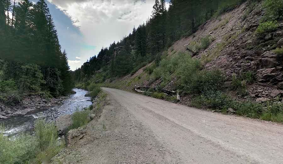
Driving up to the summit is steep, rocky and a real challenge. The first 8 miles starts out as a two lane graded gravel road -called the East Fork Road by the Forest Service- where it leaves the highway and are pretty tame (suitable for most passenger vehicles). It follows the river through a narrow rocky canyon and then opens into a wide valley. Near Silver Falls, the road has a dip that challenges the ground clearance on lower cars – judge for yourself. The road grows rougher as it leaves the wide valley.
The real adventure starts after 10 miles, at the right turn to Quartz Creek are a lot of climbing and a lot of loose big rocks (4x4 high clearance vehicles are required as there are multiple water crossings). Lock the front axles and use first gear and low range to continue. There are places where the road is cut into near-vertical rock walls with sheer drop-offs to the valley below. Go slowly and carefully, as the right shoulder is a long, long way down. Be on guard when the road is wet and in spring when the two river crossings are deep and swift. In spring, snow run-off down the river could sweep a vehicle away. Hard rain during the summer can refill the river crossing and make the road muddy and slick in many places.
Pic: Ben Daniel