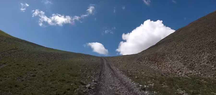
Ultimate 4WD Destination: Napoleon Pass in Colorado
Napoleon Pass is a high mountain pass at an elevation of 3,668m (12,034ft) above sea level, located in Gunnison County, in the U.S. state of Colorado, with multiple creek crossings. It’s one of the highest roads in Colorado.

Where is Napoleon Pass?
The pass is located in the central part of Colorado, within the Gunnison National Forest, between the iconic Cumberland and Tincup passes.
Why Was the Road Through Napoleon Pass Built?
The road through the summit was originally used to haul ore down to Pitkin, where the railroad ran up through the Alpine Tunnel, then down to St. Elmo and on to Buena Vista.
Is Napoleon Pass Unpaved?
The road to the summit is completely unpaved. It’s called FR 953 (Napoleon Pass Road). 4x4 vehicles are required. The trail crosses deep rivers as it follows Middle Willow Creek, so expect muddy conditions. It’s a fun, challenging ride along the west face of the Continental Divide (without crossing it).
How Long is Napoleon Pass?
The pass is 19.9 km (12.42 miles) long, running north-south from Tincup (also known as Tin Cup, formerly Virginia City) to Pitkin.
Is Napoleon Pass Open in Winter?
Set high in the Sawatch Range of the Rocky Mountains, accessibility is largely limited to the summer season. This route may close unexpectedly due to weather conditions.
Pic&video: David Viers