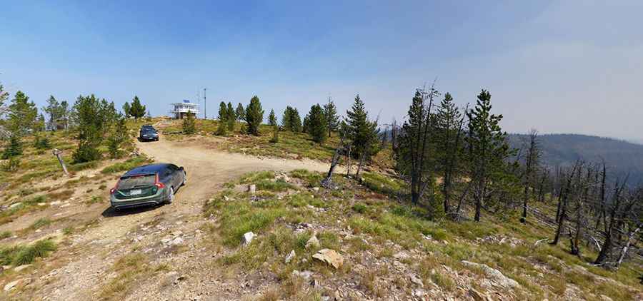
Ultimate 4WD Destination: Hells Half Acre Mountain in Idaho
Hells Half Acre Mountain is a high mountain peak at an elevation of 2,474m (8,116ft) above sea level, located in Idaho County, in the U.S. state of Idaho.

Where Is Hells Half Acre Mountain?
The peak is located in the northern part of Idaho, near the Montana border, within the Bitterroot National Forest.
What’s at the Summit of Hells Half Acre Mountain?
At the summit, there’s a fire lookout built in 1960. It is regularly staffed during the fire season.
Is the Road to Hells Half Acre Mountain Unpaved?
The road to the summit is completely unpaved. In dry conditions, it is an easy drive, but take your time navigating the larger rocks. An AWD vehicle is recommended due to the steep final stretch on loose gravel.
How Long Is the Road to Hells Half Acre Mountain?
Starting from Magruder Corridor Road, the ascent is 16km (10.0 miles) long. Over this distance, the elevation gain is 937 meters, with an average gradient of 5.85%. Some sections are extremely steep, with a maximum gradient of 17.5% on certain ramps.
Pic: David Adolphson