Adventure along the North Eureka Valley Road in Death Valley
North Eureka Valley Road is a very exciting desert drive located in Inyo County, in the US state of California. It’s one of the challenging backcountry roads in Death Valley National Park.
Where is North Eureka Valley Road?
The road is located in the eastern central part of California, within Death Valley National Park.
How long is North Eureka Valley Road?
The road is 21 miles (33.79 km) long, running south–north from Loretta Mine Road–Death Valley Road (0.7 miles west of South Eureka Valley Road) to Oasis, on the paved CA-168 road. The road provides access to Sylvania Mountain Wilderness outside the northern park boundary.
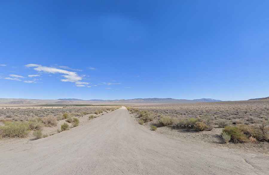
Is North Eureka Valley Road unpaved?
It is totally unpaved and comprises eight miles of dirt and gravel road to the park boundary. A high-clearance vehicle is required, and 4WD is often required to continue to Hwy 168. The road is steep in parts, topping out at 1,693m (5,554ft) above sea level. Due to frequent flooding in the area, road conditions often vary throughout the park. For the most up-to-date information on road conditions, visit Death Valley’s website at nps.gov/deva.