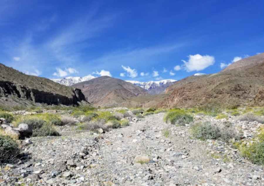
Adventure Along the Hanaupah Canyon Road in Death Valley NP
Hanaupah Canyon Road is an exciting desert drive located in Inyo County, in the US state of California. It’s one of the most challenging Backcountry roads in Death Valley National Park.

Where is Hanaupah Canyon?
The canyon is located in the east-central part of California, on the eastern side of the Panamint Mountains.
Is the Road Through Hanaupah Canyon Unpaved?
The road through the canyon, known as Hanaupah Canyon Road, is entirely unpaved, rocky, and dirt-covered. The first five miles are accessible for two-wheel drive and high-clearance vehicles. After the five-mile marker, only four-wheel drive vehicles can continue for an additional three miles to the road's end. Expect large boulders, loose gravel, gully washes, and no clear trail in some sections. The road climbs a large alluvial fan before dropping into the gravel wash at the canyon’s mouth, five miles in, with sections that may be completely washed out. For the latest road conditions, visit Death Valley’s website at nps.gov/deva.
How Long is Hanaupah Canyon Road?
Situated in the heart of Death Valley National Park, the dirt road stretches 12.87 km (8 miles) from West Side Road to Hanaupah Spring and an old mining site. A 4x4 vehicle is required. Hikers can continue past the end of the road to explore the spring and the historic mining area.
Pic: Rufus Timberlake