A remote drive to Mormon Pass in Nevada
Mormon Pass is a high mountain pass at an elevation of 2,039m (6,689ft) above sea level, located in Clark County, Nevada. The road should be no problem for 2WD high-clearance vehicles in dry conditions.
Where is Mormon Pass?
The pass is located near Las Vegas, in the southern part of Nevada.
Is Mormon Pass unpaved?
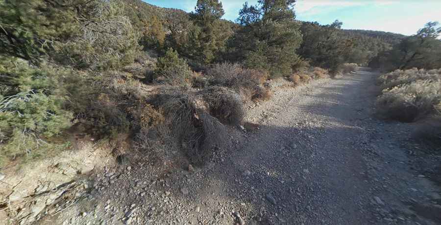
The road to the summit is completely unpaved. It’s called Mormon Well Road, a long, rough dirt road that was originally a pioneer wagon trail. This is not a maintained road. A 2WD high-clearance vehicle is required if the road is dry, while a 4WD vehicle may be needed if the road is wet or washed out.
How long is Mormon Pass?
The road through the pass is 66.46km (41.3 miles) long, running east-southwest from US-93, near Coyote Springs, to Alamo Road, near Corn Creek.
How remote is Mormon Pass?
Remember, this is a wild and remote area in the heart of the Desert National Wildlife Refuge, with no cell service. There are no services, so keep a map handy for offline use. The scenery changes dramatically, transitioning from desert to mountains to canyons.
Is the road through Mormon Pass open?
Set high in the Sheep Mountains of Nevada, the road is open year-round, though the full route may be closed due to hazardous conditions. Some sections may have loose rock or erosion damage, depending on recent rainfall.
Pic: BMP 51